Kaʻena Point State Park
Beauty On The Edge
On an island known for its bustling city, Oahu’s Kaʻena Point is a refuge for animals and humans alike. Kaʻena Point is Hawaii’s westernmost tip, where the west side and north shore meet. Vehicles were permitted to drive to Kaʻena Point until the 1980s, when access roads were gated to help conserve wildlife that flock to this area. Today, only foot traffic and mountain bikes are permitted in the area, and the abandoned dirt roads serve as trails to the point. There are two Kaʻena Point trailheads, one on the north shore and one on the west side.

In ancient Hawaii, the euphemism “traveling west” was used as a term for dying. As the westernmost point on the island, it was said that Kaʻena Point was where souls leapt into the spirit world. At the time of death or during a near-death experience, the soul would travel to Kaʻena Point to determine whether it was ready to continue. It was believed that spirits of ancestors waited for the soul at Kaʻena Point to help guide it to its next point. If earthly obligations had yet to be fulfilled, these spirits had the power to send the soul back to its body. If the soul was ready to depart, the spirits would guide the soul to Po, the underworld.

To reach the trailhead from the Mokuleia side, follow Farrington Highway 930 until you get to the parking lot at the end of the road. Be sure to not leave any valuables in your vehicle, as remote parking areas are always an easy target for thieves.
From here, follow the road that stretches to the west- this is the trail. While it’s a relatively easy walk over even terrain, there is little to no shade for the entire route. This is the driest area of Oahu, and the climate here is harsh, hot, and rugged. Be sure to wear sunscreen and bring plenty of water. A hat or sun shirt is also ideal.
Traveling this route will take you through a dry grassy climate, with views of the craggy mountains, vast ocean, and the entire North Shore on display. There are many private pockets of sand along this route, and if you’re simply searching for a private beach, then there is no need to trek all the way to the point.
From the parking lot to the point takes about one hour at a brisk pace, with a total mileage of 2.5 miles one way.
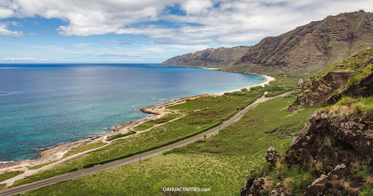
Similar to the north entrance, the western trailhead sits at the end of the road. Simply follow Farrington Highway 93 until you reach Kaʻena State Park. Upon arrival, you’ll be greeted by the dramatic mountainous coastline and the white sands at Yokohama Beach. But, again, any remote parking area is a hot spot for thievery, so be sure to take any valuables with you, or better yet, leave them at home.
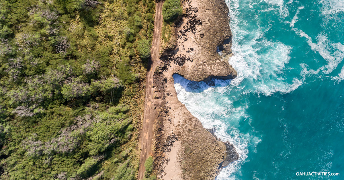
The route from Waianae also follows an unused road that snakes along the coast. This route boasts impressive views of sheer mountains and countless turquoise tide pools. In total, the trail is just under five miles round trip.
Some of the biggest highlights along this route are an enormous rock arch that forms a natural bridge into the sea and several blowholes. If there is swell in the water, you will hear and see blowholes sending churned-up seawater into the air. They are easy to spot if you are paying attention and not too enamored with the beauty of the trail.
This route will eventually lead to a large fence. This is not to deter hikers but to keep out invasive species like feral cats and mongooses. There is a door in the fence that allows hikers to pass through.

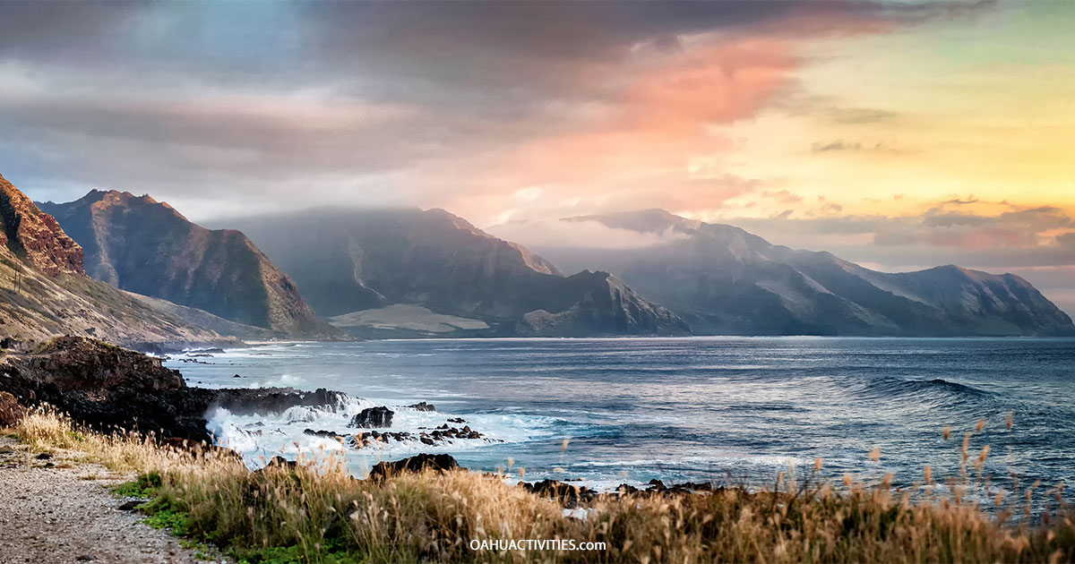
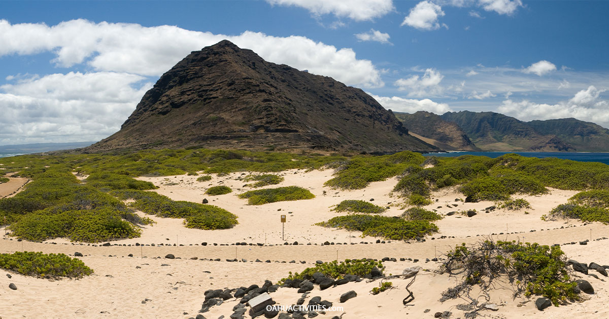
Once you reach the point, you’ll notice a change in the energy. The grasslands of the north entrance and the merciless lava of the west entrance give way to white sand and low shrubs. The majesty of this place makes it clear why it is such a spiritual place in Hawaiian culture. To the south, views of the steep Waianae Range rival that of the Na Pali Coast on Kauai. To the north, the north shore is laid out before you, stretching to Kahuku and showing off the white windmills that dot the hills above the coast.
The official endpoint of the hike is the decommissioned lighthouse at the edge of the point.
Kaʻena Point is a conservation area, and the wildlife in this region is second to none. Keep an eye out for resting monk seals on the beach on and around the point. These creatures easily blend in with the rocks while taking naps on the beach. Be sure not to step on them! Monk seals are federally protected and must not be approached. There are only 1,400 monk seals left in the wild, and Kaʻena Point is a great place to possibly glimpse them.
When the water is calm, dolphins are frequently spotted playing offshore. In the winter months, Kaʻena Point is one of the best places to watch breaching humpback whales.

Kaʻena Point is also a designated sea bird conservation area. There are over 2,000 seabirds that use Kaʻena Point as their breeding grounds. Countless more use the area as a place of refuge. Laysan Albatrosses and wedge-tailed shearwaters are among the most common birds that nest here. Keep your eyes out; you just might spot them nesting in a shrub off the trail.
Along the way, you might notice large white orbs dotting the mountain summit above you. Believe it or not, this is actually the Kaʻena Point Space Force Station. This station originally opened in 1959 and was recently renamed to represent the Space Force. This remote tracking station is responsible for tracking satellites in orbit. The two orbs are known locally as the “golf balls” and are commonly used as a landmark by offshore fishermen.
The sheer number of things to do on Oahu is enough to make even the most organized traveler’s head spin. With that in mind, we’ve narrowed down Oahu’s musts so that you can experience the extent of “The Gathering Place’s” wonder: